Italy has made a new map of the volcanic threats posed by the famed islands of Stromboli and Vulcano.
Using an instrument called a magnetometer, scientists have picked up the anomalies in the Earth's magnetic field caused by cracks in its crust.
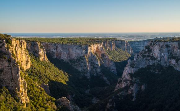
The seas around the southern Italian Aeolian Islands are one of Italy's most volcanic zones.
''This new map has found a spiders' web of undersea volcanic conduits,'' said Massimo Chiappini of the National Geophysics and Vulcanology Institute.
''The high-resolution mapping has enabled us to detect the presence and depth of volcanic bodies, long-buried eruptive centres and hidden structures,'' he said.
Stromboli, one of the world's most active volcanoes and a popular tourist attraction, is more violent than its neighbour Vulcano, whose last major eruption was in 1888.
Stromboli has erupted several times in recent years and the coasts of all the Aeolian islands have had to be evacuated.
The biggest eruption was in December 2002, when the volcano blew its stack in a terrific explosion that sent one of the island's slopes crashing into the sea and injured seven people.
Four million cubic metres of lava - the equivalent of a 30-storey building - crashed into the water creating a 10-metre (33-feet) high tsunami which reached as far as the Sicilian mainland.
Large bubbles of sulphur gas also surfaced in the sea off Panarea.
Stromboli has seen several even bigger explosions over the past century.
A violent eruption in September 1930 caused a tidal wave that led to several deaths and threatened to engulf two towns in lava.
The disaster inspired the celebrated film Stromboli by Italian movie great Roberto Rossellini.